Chicago Weather Today: Heat Near 90°F, Storms Due
Chicago faces a heat index near 99°F and afternoon thunderstorms Saturday, with an official air quality alert still active for the greater metro area.


Chicago enters Saturday, July 18, under a National Weather Service forecast calling for a high near 90°F, a heat index as high as 99°F, and a likelihood of showers and thunderstorms concentrated mainly in the morning through early afternoon capping a week in which wildfire smoke drove the city's air quality to the highest recorded levels in at least 30 years.
Heat, Humidity, and a Tight Storm Window
The National Weather Service office in Romeoville, Illinois forecast Saturday's peak temperature near 90°F, with overnight lows around 68°F. Winds will blow from the west-southwest at 10 to 15 mph during the morning before shifting north-northeast in the afternoon, with gusts reaching up to 25 mph.
Saturday's storm window closes earlier than it might feel. Showers and thunderstorms are most likely through the early afternoon, after which skies begin to clear though patchy smoke is expected to return after 8 p.m., a signal that the air quality picture is not finished for the weekend.
Sunday's forecast currently shows a high near 79°F with patchy smoke and sunshine, a noticeable cooldown from today's peak.
Wildfire Smoke and a Week of Damaged Air
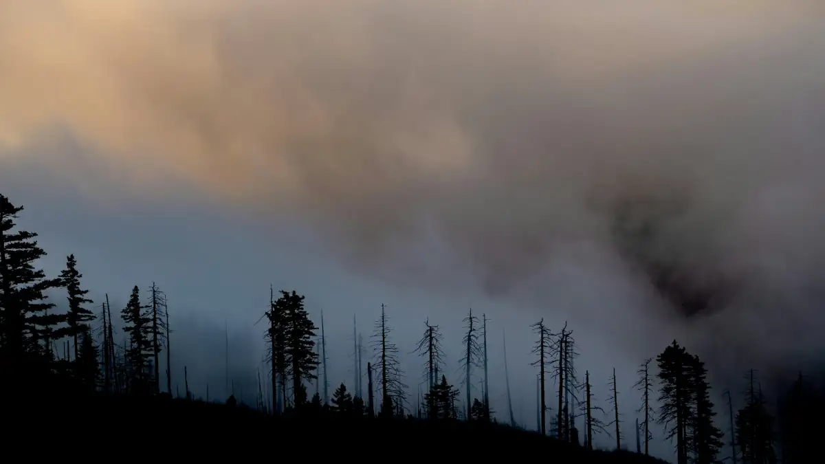
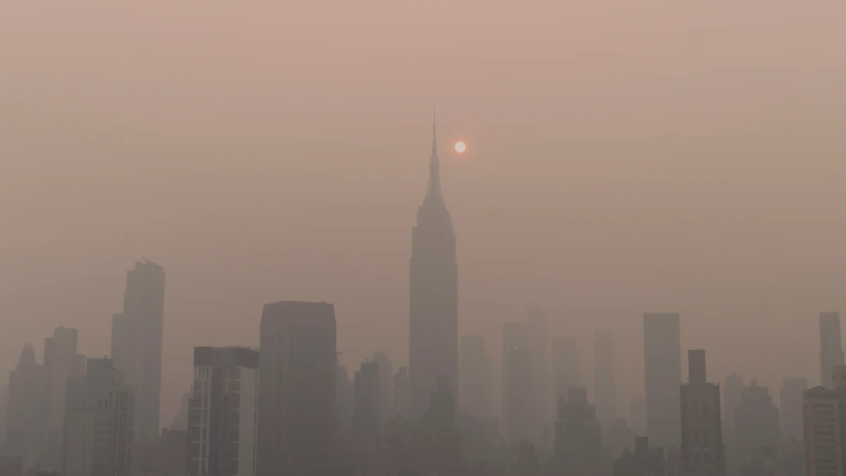
The weather forecast is only part of Saturday's conditions. The Illinois Environmental Protection Agency maintained its Air Pollution Action Day designation for the greater Chicago metropolitan area through midnight CDT on July 18, after wildfire smoke from Canadian fires and Minnesota's Boundary Waters Canoe Area Wilderness blanketed the region for days.
On Thursday, July 16, Chicago recorded a peak AQI of 747 the highest measured in at least the past 30 years of reliable data and more than three times the previous record of nearly 200, set in late June 2023.
Chicago Park District closed all outdoor beaches and pools on Thursday, as air quality reached "very unhealthy" levels where everyone was advised to avoid physical activity outdoors.
The Illinois EPA confirmed its Air Pollution Action Day designation would remain in effect for the greater Chicago Metropolitan Area through Saturday night, July 18, and that a Purple Forecast Air Pollution Action Day triggered when AQI readings fall between 201 and 300 would also remain active until midnight.
Residents can track current conditions in real time through AirNow.gov, the official U.S. EPA platform. The Illinois EPA outdoor air quality page also carries live forecast updates for all six Chicago area sectors.
Who Needs to Take Precautions Today
People within sensitive groups including children, the elderly, pregnant women, and those with respiratory issues should avoid outdoor activity when air quality reaches unhealthy levels. When conditions reach hazardous levels, everyone is advised to remain indoors.
For those with outdoor plans on Saturday, checking NowCast readings or signing up for EnviroFlash alerts through AirNow.gov provides the clearest real-time picture of when conditions improve or worsen throughout the day.
The City of Chicago noted that hot and humid conditions are forecast to continue into the weekend, with heat indices near 100°F. The City of Chicago operates cooling centers across the metro area for residents without air conditioning locations are available through the City of Chicago cooling center locator.
What the Afternoon Storms Could Bring
The NWS Storm Prediction Center flagged a broader severe weather picture for Saturday across the Ohio Valley and Lower Great Lakes region. The SPC outlook identified a threat of isolated hail and localized strong to severe gusts as stronger thunderstorm cells develop across the region during the afternoon and evening.
For Chicago specifically, the NWS point forecast puts the highest storm probability in the morning through early afternoon. Anyone planning outdoor events Saturday should build in flexibility around that window. Wind gusts to 25 mph are possible even outside of thunderstorm cells, given the afternoon wind shift from southwesterly to northeasterly.
Smoke Returns Saturday Night
NWS Chicago noted on July 17 that, while Saturday morning looked clearer, smoke was expected to return Saturday afternoon and evening and could linger into Sunday.
The NWS Saturday night forecast reflects that patchy smoke developing after 8 p.m., with otherwise mostly clear conditions and a low around 68°F. Sunday's forecast high near 79°F comes with patchy smoke still in the picture before conditions gradually improve.
The air quality alert expires at midnight CDT on Saturday. Whether a new designation follows Sunday will depend on how quickly the smoke plume moves east a question the Illinois EPA will assess based on hourly monitoring data.
- Chicago weather
- air quality alert Chicago
- Illinois EPA air pollution
- heat index Chicago
- wildfire smoke Chicago