Tornado Confirmed Over Appleton, WI: Storm Track, Damage, and Power Outages
A confirmed tornado touched down over Appleton, WI at 12:01 PM CDT on July 27, leaving homes stripped, roads closed, and nearly 70,000 We Energies customers without power.

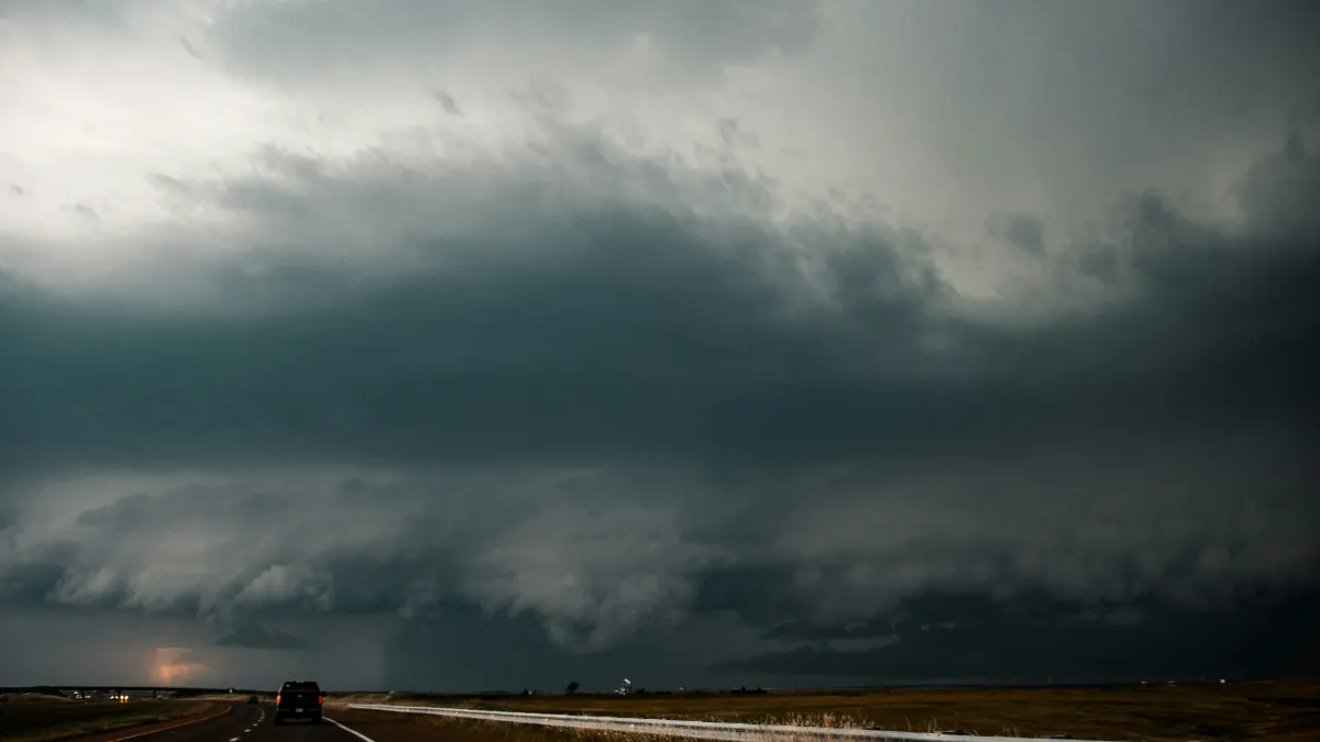
A confirmed, extremely dangerous tornado touched down over Appleton, Wisconsin, at 12:01 PM CDT on Monday, July 27, 2026, according to raw warning text issued by the National Weather Service in Green Bay. The storm shredded roofs, overturned cars, and toppled trees across the Fox Valley, knocking out power to nearly 70,000 We Energies customers before the warning expired at 12:45 PM CDT.
What the NWS Confirmed and When
The NWS Green Bay issued the tornado warning at 11:59 AM CDT, covering Calumet, Manitowoc, Winnebago, and Outagamie counties until 12:45 PM CDT. Two minutes into that window, radar confirmed the tornado directly over Appleton, moving southeast at 40 mph. The NWS classified it as a Particularly Dangerous Situation the second-highest level tornado warning in the agency's vocabulary and issued immediate shelter guidance: move to an interior room on the lowest floor of a well-built building.
By 12:04 PM CDT, the confirmed tornado had shifted southeast to near Menasha, still tracking at 40 mph. At 12:12 PM CDT, it was over northern Lake Winnebago, eight miles south of Appleton, moving southeast at 35 mph. A further update at 12:21 PM CDT placed it near the northern shore of Lake Winnebago, nine miles northeast of Oshkosh, where it was moving south at 30 mph.
The Associated Press reported that the NWS confirmed the tornado in Winnebago County, approximately 90 miles northwest of Milwaukee, with spotters placing it six miles northeast of Oshkosh around 12:25 PM CDT as it tracked south toward Fond du Lac County. The tornado was observed for at least 20 minutes from near Appleton to the northern coast of Lake Winnebago before dissipating over water after crossing through Menasha.
A second tornado warning was issued at 12:17 PM CDT for southwestern Calumet and southeastern Winnebago counties, valid until 1:00 PM CDT, as the storm system continued south.
Damage Across Appleton, Menasha, and Neenah
A confirmed tornado reached the ground west of Appleton with winds reported at 124 miles per hour, according to WBAY. Photos from West College Avenue in Appleton, published by Spectrum News 1, showed roofs and siding torn from homes, cars overturned, and debris blocking streets. Social media images from the city showed the same pattern: whole sections of roofing stripped, vehicles flipped, and tree limbs piled across roads, the Associated Press reported.
Highway 10/441 through Menasha was closed in both directions between Highway 47 and I-41 after the storm passed through. Debris was reported on Highway 10 at the Midway Road and County Road AP exit.
The Menasha Police Department posted on Facebook that it was "aware of severe damage in broad areas" and asked residents to stay indoors, avoid downed power lines, and refrain from driving unless absolutely necessary. Menasha Utilities, a municipally owned company, said the entire city of approximately 18,000 people was believed to be without power due to a downed transmission line.
The American Red Cross said it was still assessing damage and directed residents to call 1-800-RED-CROSS.
Power Outages Across the Region
We Energies reported more than 22,000 customers without power in Appleton's primary county Outagamie as of 12:45 PM CDT. By 1:01 PM CDT, We Energies' total outage count across northeast Wisconsin had reached 68,779 customers, with Outagamie County accounting for the largest share. Wisconsin Public Service reported an additional 13,167 outages, with Winnebago and Calumet counties among the most affected.
More than 15,000 customers were without power in Winnebago and Calumet counties combined, and more than 18,000 in Outagamie County alone, according to PowerOutage.us. Appleton intersections with non-functioning traffic lights were flagged by police, who instructed drivers to treat them as four-way stops.
The outage in Wisconsin was part of a wider Great Lakes storm system. More than 350,000 customers across Illinois, Wisconsin, and Indiana had lost power as severe thunderstorms with damaging winds tracked across the region.
The Pre-Storm Setup
The SPC's Severe Thunderstorm Watch 519 had been active for northeast Wisconsin since 8:43 AM CDT, covering counties including Brown, Calumet, Manitowoc, Outagamie, and Shawano, with damaging wind gusts up to 70 mph and hail up to 1.5 inches listed as primary threats. The watch was set to expire at 3:00 PM CDT.
The SPC's Day 1 outlook described a Level 3 of 5 severe-weather risk across the Great Lakes and Ohio Valley, with isolated tornado potential flagged for the Midwest. NWS Green Bay had already posted a local severe-weather briefing page at weather.gov/grb/july26-28storms advising Fox Valley residents to monitor updates, receive weather warnings, and know their nearest safe shelter. Reports described apple-sized hail falling across parts of northeast Wisconsin during the warning cycle. The NWS also confirmed hail up to two inches wide with the storm that produced the Appleton tornado.
Those tracking similar severe weather setups across the Midwest this summer may find context in how tornado warnings differ from watches the NWS warning for Appleton was an active, radar-confirmed tornado warning, not a watch.
What Remains Unverified
Several key figures are not yet available and should not be reported until confirmed by the NWS or state emergency officials. No EF rating has been assigned. The final tornado path, width, and length require an NWS survey team on the ground. No official injury or death toll has been released by any county or state authority as of this publication. The American Red Cross said its damage assessment remained in progress.
The NWS Green Bay's weather briefing page remains the primary official channel for updates. The storm system that produced the Appleton tornado continued south across eastern Wisconsin, with the NWS monitoring it for additional tornado potential.
- Appleton tornado
- Appleton WI
- Wisconsin tornado
- Fox Valley
- Menasha
- Neenah
- NWS Green Bay
- We Energies
- Power outages
- Lake Winnebago