Mexico Earthquake: 7.4-Magnitude Quake Hits Chiapas Coast, Tsunami Threat Issued
A magnitude 7.4 earthquake struck Mexico's Chiapas coast on July 17, 2026, triggering a tsunami threat for Mexico and Guatemala. No major damage reported.

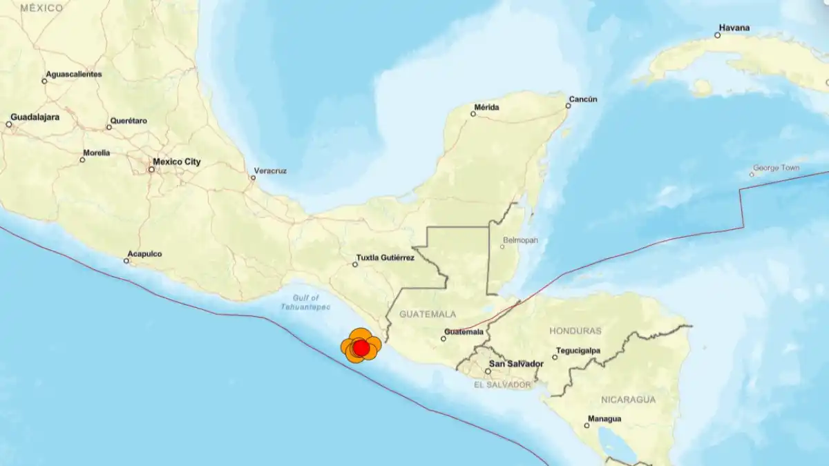
A magnitude 7.4 earthquake struck off the Pacific coast of Mexico's southern state of Chiapas on Friday, July 17, 2026, at 14:48 UTC, prompting a tsunami threat message for coastal communities across Mexico and Guatemala and sending residents rushing into the streets in three countries.
The U.S. Geological Survey recorded the tremor at a shallow depth of 10 km near the port town of Puerto Madero, roughly 48 kilometres southwest of Aquiles Serdán, a coastal settlement close to the Guatemalan border. The shallow depth amplified the intensity of shaking across a wide area. No deaths or major structural damage had been confirmed in the immediate aftermath, though Mexican civil-protection authorities were actively inspecting affected zones in early reports on Friday.
The Quake and Where It Was Felt
Puerto Madero sits at the southern tip of Chiapas, close to the Guatemalan border. Buildings shook across the border in Guatemala City, with a witness describing residents dashing from their homes into the streets. Tremors were also reported in El Salvador.
In the southern Mexican state of Oaxaca, Governor Salomón Jara said on social media that shaking was felt with moderate intensity in the state capital but that no serious damage had been identified there. Chiapas state's civil-protection agency confirmed monitoring and field inspections were under way.
The magnitude figure carries a note of caution. The Pacific Tsunami Warning Center listed the event at 7.4 Mwp, some early reports circulated a preliminary USGS figure of 7.3 before agencies including the PTWC settled on 7.4. Such first-hour revisions are standard practice as seismological agencies accumulate more data.
Tsunami Threat: What Authorities Said
Within minutes of the quake, the U.S. Tsunami Warning System issued a threat message warning that hazardous tsunami waves were possible along coastlines within 300 kilometres of the epicentre. The Pacific Tsunami Warning Center's bulletin specified that waves of up to one metre above tide level were possible for the coasts of Guatemala and Mexico.
Estimated first-arrival windows in the PTWC bulletin placed Puerto Madero at risk as early as 15:26 UTC, roughly 38 minutes after the quake. Guatemalan coastal communities, including Ocós, Tiquisate, and Champerico, faced projected arrivals between 15:35 and 15:50 UTC.
Mexican authorities responded by urging people to stay away from beaches, citing the possibility of sea-level fluctuations of up to about half a metre. Mexico's navy, SEMAR, was monitoring the coast and conducting coastal risk analysis. Later local reporting indicated that authorities were reviewing whether the broader tsunami risk could be ruled out, though no official all-clear had been issued at the time of writing.
One clarification worth noting the PTWC issued a "threat message" covering a regional hazard zone. The designation "tsunami warning", which carries a stricter formal meaning under the U.S. warning system, applies when a destructive local tsunami is considered imminent for a named coast. Both phrases appeared in early coverage, the PTWC's own language was "threat message."
Why This Coast Carries Serious Seismic Risk
The area around Puerto Madero sits directly above one of the most seismically active convergence zones in the Americas, where the Cocos tectonic plate pushes beneath the North American plate at a sustained rate. This subduction zone is capable of producing earthquakes above magnitude 8.0.
This coastline has a documented history of such events. In September 2017, a magnitude 8.2 earthquake struck offshore Chiapas near the Guatemalan border, the second-strongest recorded in Mexico's history, generating measurable tsunami waves, triggering evacuations in Puerto Madero, and causing dozens of deaths across Chiapas, Oaxaca, and Tabasco. Friday's 7.4-magnitude event is significantly smaller than that 2017 rupture. The 10 km depth, however, means the quake released energy close to the surface, which is why shaking was felt so broadly and why tsunami monitoring was activated immediately.
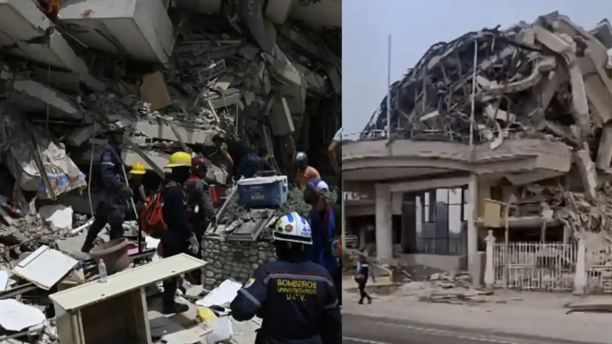
This seismic corridor sits within a broader regional picture of elevated hazard. A magnitude 7.8 earthquake in the southern Philippines in June 2026 triggered tsunami warnings across several countries and left at least 77 people dead, according to the NDRRMC's situational reports. Venezuela's twin earthquakes of June 24, 2026, have killed nearly 5,000 people, according to official figures released by mid-July, a reminder of the scale of casualties that shallow, urban-proximate quakes can produce.
What the Seismic Alert System Did Not Do
Local reporting raised a specific point about Mexico's alert infrastructure on Friday. SASMEX, the Sistema de Alerta Sísmica Mexicano, Mexico's official national earthquake early warning system, did not activate for Friday's earthquake. Authorities said the sensor network's threshold conditions for Chiapas were not met, meaning the automated alert did not trigger.
This distinction matters. People in areas that did not receive an alert had no advance warning before shaking arrived. SASMEX was designed primarily to give Mexico City residents up to 60 seconds' notice of distant offshore quakes, its sensor coverage and alerting performance in Chiapas, where coverage is only partial, has historically been limited for events originating close to the state's own coast.
Early Damage Assessment: What Is Known
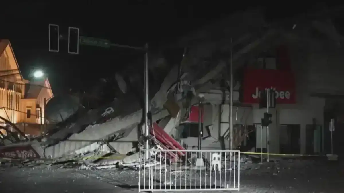
As of early reports Friday afternoon, no deaths had been confirmed and no major structural damage had been officially recorded. Mexican civil-protection agencies, including the Coordinación Nacional de Protección Civil, were conducting inspections. Field reporting had not produced confirmed damage tallies by the time of writing.
Given the magnitude, depth, and proximity to populated coastal areas, authorities were not treating the situation as resolved. Damage assessments after major shallow offshore quakes can take hours to days as teams reach remote coastal communities. The situation in Chiapas remained active.
Aftershocks were expected, consistent with standard seismological patterns following a 7.4-magnitude event. Residents in the Chiapas coastal zone were advised to remain alert.
- Mexico earthquake July 2026
- Chiapas earthquake
- tsunami warning Chiapas
- Puerto Madero earthquake
- Mexico Pacific coast seismic alert