Tornado Watch 507 Put All of New Jersey Under Alert. Then the Warnings Started.
Tornado Watch 507 covered all of NJ and NYC until 9 p.m. on July 21. A warning is worse, here's the key difference and what each alert requires.

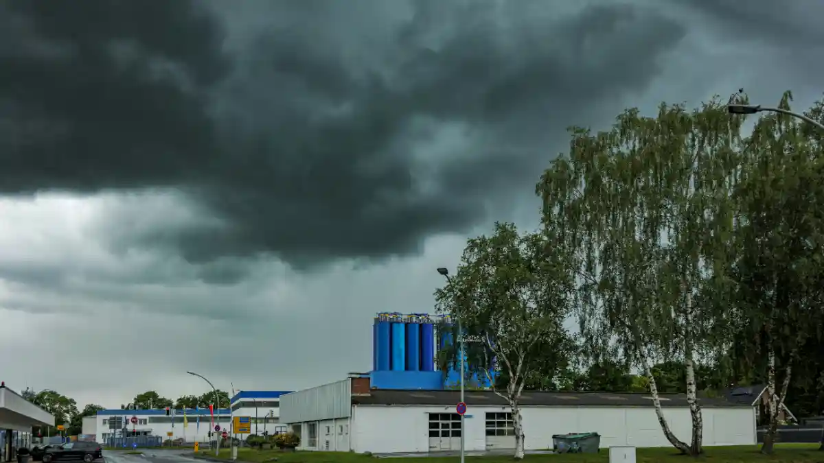
The National Weather Service's Storm Prediction Center issued Tornado Watch 507 at 2:05 p.m. EDT on Tuesday, July 21, 2026, placing all of New Jersey, New York City, and a broad sweep of the Northeast under alert until 9 p.m., with tornado warnings later activating across Morris, Bergen, Essex, and Passaic counties as storms moved east through the afternoon.
What the Watch Covered and Why It Was Issued
SPC Watch 507 stretched across New Jersey, central and southern New York, including New York City's five boroughs, western Connecticut, northern Delaware, eastern and central Pennsylvania, and the region's coastal waters. The Storm Prediction Center's Watch 507 outline listed all 21 of New Jersey's counties by FIPS code.
The Storm Prediction Center rated the setup as an Enhanced risk, level 3 out of 5 on the national severe-weather scale. The NWS Mount Holly forecast discussion cited precipitable water values near or above two inches, atmospheric instability of 2,000 to 3,000 joules per kilogram, and deep-layer wind shear around 30 to 40 knots, a combination that meteorologists associate with organized, long-lived severe thunderstorms.
Primary hazard: damaging straight-line winds. The watch listed gusts up to 70 mph, hail up to 1.5 inches in diameter, and a couple of tornadoes as possible. NWS Mount Holly was direct in its pre-storm messaging, wind damage was the main concern, but forecasters said tornadoes could not be ruled out.
A parallel Flood Watch issued by NWS New York covered northeast New Jersey and the NYC boroughs through late Tuesday, with 1 to 2 inches of rain expected across the zone and isolated totals of 3 to 4 inches possible in the strongest cells. Rainfall rates in those storms could spike near 2.5 inches per hour. NWS Mount Holly's separate flood watch for central and southern New Jersey warned that individual thunderstorms could produce 2 to 3 inches per hour, enough to cause rapid road flooding.
Tornado Warnings: What Happened in Northern New Jersey
The watch was the background condition. The warnings were the active danger.
NWS Mount Holly issued the first tornado warning for central Morris County, with official NWS alert text at 2:18 p.m. EDT confirming a severe thunderstorm capable of producing a tornado was located over Dover, approximately seven miles northwest of Morristown, and tracking east at 25 mph. The warning remained in effect until 2:30 p.m. EDT.
A second tornado warning was issued shortly after, with radar showing rotation near Victory Gardens moving east along the same corridor. That storm tracked toward Rockaway and White Meadow Lake, placing a stretch of Interstate 80 between mile markers 29 and 36 inside the warning zone.
NWS New York issued a separate tornado warning for northwestern Essex County at 2:56 p.m. EDT, valid until 3:30 p.m., after radar indicated rotation over Fairfield, near Caldwell, tracking eastward at 25 mph. By 3:22 p.m. EDT, another warning was active for east-central Morris County until 3:45 p.m., with a storm located near East Hanover tracking east and placing sections of I-287 between mile markers 42 and 53 under threat.
A trained spotter reported a possible tornado on the ground near Stanhope in Sussex County, close to the junction of Interstate 80 and Route 206. No official NWS damage survey had confirmed that report by publication time. The NWS typically surveys reported tornado locations after an event and issues a Local Storm Report to confirm or deny a tornado's touchdown.
Tornado Watch vs. Warning: Which Is Worse
A tornado warning is worse. According to the National Weather Service's official tornado safety guidance, a watch means atmospheric conditions are favorable for tornadoes to form. It is a preparation alert, time to monitor your phone, know your shelter location, and stay informed. Most phones do not automatically alert users about a watch, residents need to check the NWS or a weather app themselves.
A tornado warning means a tornado has been confirmed by a trained spotter on the ground, or that radar is showing rotation strong enough to indicate an imminent tornado. The NWS's NOAA Severe Weather 101 page is unambiguous on what a warning requires: act immediately.
Watches cover large areas, multiple counties, sometimes several states, and can remain valid for several hours. Warnings are far narrower, typically covering part of a county, and are issued for much shorter windows, often 30 to 45 minutes. Watches come from the SPC in Norman, Oklahoma. Warnings are issued by your local NWS office.
Do not wait to hear a siren before seeking shelter during a tornado warning. Sirens are outdoor alerting tools, and local jurisdictions control when and whether they sound. Indoor locations with closed doors and windows may not allow residents to hear outdoor sirens at all. Your phone's Wireless Emergency Alert system will push a tornado warning automatically, unlike a watch.
What to Do If a Watch or Warning Is Active
During a tornado watch, take these steps:
Identify the lowest interior room in your home or building an interior bathroom, hallway, or basement
Charge your phone and keep it within reach
Monitor weather.gov or a local NWS-backed app for warning upgrades
Bring pets inside
During a tornado warning, act immediately:
Move to the lowest floor of a solid building, into an interior room, away from windows
If you are in a mobile home or vehicle, get out and reach a sturdy structure
Cover your head with a blanket, mattress, or cushion to protect from debris
Do not shelter under a highway overpass it does not provide tornado protection and can create a deadly wind tunnel
If you are trying to find out whether an active tornado warning exists near your location now, do not rely on this article, check weather.gov or your phone's emergency alert system directly. Warnings expire within minutes and apply to specific map polygons, not countywide zones.
The Broader Storm Picture
Tuesday's storms arrived as New Jersey meteorologists had already flagged the afternoon round as more organized and more dangerous than a morning round that had moved through earlier in the day.
The Enhanced risk designation, level 3 of 5, placed the New Jersey and Philadelphia corridor in the same tier used when forecasters see potential for widespread wind damage, multiple tornadoes, or significant hail. Residents in that category are expected to have a plan and act on it.
The overlap of tornado and flood risk in Tuesday's storm system is worth underscoring. Flash flooding and tornadoes can exist within the same event, and the two hazards call for opposite responses. A tornado sends you to the lowest floor. A flood sends you to the highest floor. Knowing which warning applies to your specific location, at each specific moment, is why meteorologists consistently direct residents to official NWS alerts rather than broad regional summaries.
For active warnings in your specific location, check weather.gov directly or enable Wireless Emergency Alerts on your phone.
- NJ tornado watch
- tornado watch vs warning
- NJ tornado warning
- tornado warning New Jersey
- NYC weather