NYC Tornado Watch: What It Means and What to Do
A Tornado Watch covered all five NYC boroughs on July 21 until 9 p.m. Here is what the watch meant, how it differed from a warning, and the real storm threats.

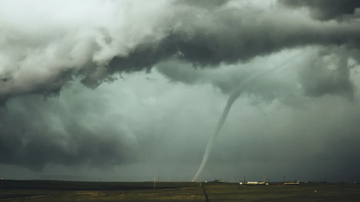
The National Weather Service placed all five boroughs of New York City under a Tornado Watch on Tuesday, July 21, running until 9 p.m., as a line of severe thunderstorms swept across the Tri-State area, bringing damaging winds, heavy rain, and an isolated tornado risk. The watch also covered all of New Jersey and Connecticut's Fairfield, Litchfield, and New Haven counties.
Watch Versus Warning, The Distinction That Matters
Many New Yorkers on Tuesday were searching for whether a tornado warning had been issued for the city. It had not, at least not for the five boroughs themselves. What was in effect was a Tornado Watch, and the difference is significant.
According to the National Weather Service, a Tornado Watch means atmospheric conditions are favorable for tornado development in and near the watch area. A Tornado Warning means something else entirely: a tornado has been spotted, confirmed by radar, or is otherwise imminent. A warning demands immediate shelter. A watch demands attention and readiness.
The NWS's own guidance puts it in direct terms: a watch is "be prepared", a warning is "take action now." Anyone receiving a Tornado Warning for their specific area is told to move to the lowest floor of a sturdy building, a basement if available, and to protect their head and neck. By the time a tornado is visible, according to NYC Emergency Management's official guidance, it may already be too late to move safely.
Tornado Warnings were issued during Tuesday's event, but for areas north and west of the city. Sullivan County in New York received an official NWS Tornado Warning, as did Bergen, Passaic, Essex, Somerset, and Morris counties in New Jersey. No borough-level Tornado Warning for Manhattan, Brooklyn, Queens, the Bronx, or Staten Island was issued on Tuesday. Read more about the New Jersey tornado warnings and how Tornado Watch 507 escalated into active warnings.
What the Storm Actually Threatened NYC With
The storm setup for Tuesday, July 21, was dangerous, but not primarily from tornadoes.
NYC Emergency Management (NYCEM) issued a weather alert on July 20 warning that the strongest hazard would be damaging straight-line wind gusts of 40 to 60 mph, most likely during the evening commute. Wind gusts of 58 mph or higher meet the NWS threshold for a severe thunderstorm. NYCEM also warned of heavy rainfall, widespread totals of 1 to 1.5 inches across the city, with localized amounts of 2.5 to 3.5 inches in the heaviest downpours, and rainfall rates of 1.5 to 2 inches per hour inside individual thunderstorms.
NWS New York's own forecast discussion set an even higher peak rate ceiling, noting that rainfall near 2.5 inches per hour was possible in the strongest cells.
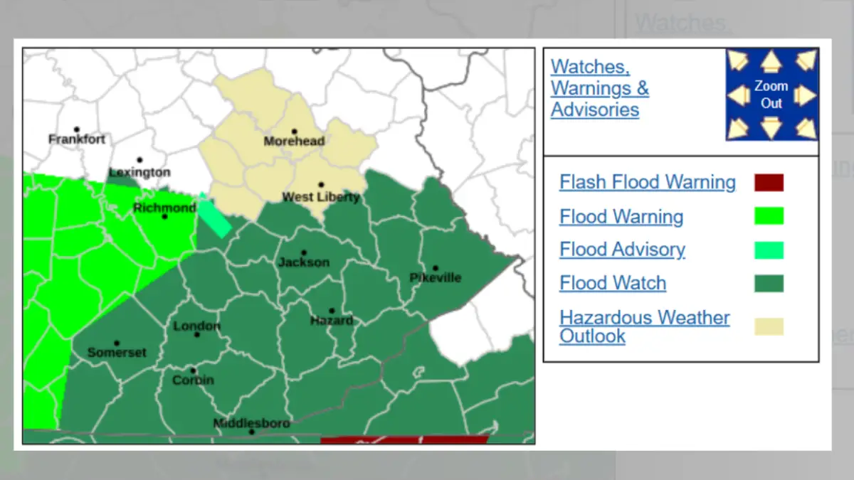
The city was simultaneously under a Flood Watch from 8 a.m. Tuesday through 2 a.m. Wednesday. One to two inches of rain, the NWS warned, was enough to cause flooding of roadways and streets. NYCEM activated its Flash Flood Emergency Plan, a coordinated citywide posture involving pre-storm inspection of catch basins, interagency briefings, and emergency assets staged for rapid deployment.
NYC Emergency Management Commissioner Christina Farrell put it plainly in her official statement: "The strongest thunderstorms are expected during the evening commute. These storms can produce damaging winds and intense downpours with little warning. Conditions can escalate quickly."
That speed of escalation was what made the 4 p.m. to 11 p.m. window so consequential for anyone moving through the city.
The Evening Commute Window
Scattered showers arrived Tuesday morning, mainly north and west of the city. After a midday break, the second and stronger round of storms was forecast to push through between 4 p.m. and 11 p.m., squarely covering the peak commute period for millions of New Yorkers.
The same pattern has driven major disruptions across the broader Northeast corridor this summer. Earlier in July, thunderstorms forced FAA ground stops at all three New York-area airports on a Saturday, and the storm system that hit the region on July 18, days before Tuesday's watch, left serious flooding across parts of the Tri-State. The flight disruptions from those July 18 storms stranded travelers at JFK, LaGuardia, and Newark Liberty. Tuesday presented a comparable disruption risk for anyone relying on the subway, commuter rail, or the parkway system.
Mayor Zohran Kwame Mamdani urged residents in NYCEM's official release to plan for travel delays and to move indoors if winds strengthened or thunder was heard. "Information is everything," Mamdani said, urging residents to sign up for emergency alerts by texting NOTIFYNYC to 692-692.
Watch vs Warning: Practical Guidance
Alert Type | What It Means | Required Action |
|---|---|---|
Tornado Watch | Conditions are favorable for tornadoes in the area | Stay alert, monitor NWS updates, know your shelter location |
Tornado Warning | Tornado is confirmed or radar-indicated, imminent or ongoing | Take shelter immediately on the lowest floor, in an interior room, away from windows |
Flood Watch | Flooding is possible in the area | Move valuables to higher ground, monitor conditions |
Flash Flood Warning | Flooding is happening or imminent | Move to higher ground immediately, do not drive through water |
Under Tuesday's conditions, New Yorkers who heard thunder were advised by NYCEM to move indoors immediately and stay away from windows. Anyone in a basement apartment was specifically urged to identify a higher-floor destination before rain began, because by the time water starts entering a below-grade space, the safest window to leave can already be closed.
What Happens If a Warning Is Issued
If the Tornado Watch had been upgraded to a Tornado Warning for NYC's five boroughs, the instruction would have been immediate and specific: go to the lowest floor of the nearest sturdy building, get into an interior room with no windows, a bathroom, closet, or interior hallway, and cover your head and neck. The NWS guidance is clear: act before you can see it. Under a warning, there is no time for watching, monitoring, or waiting.
During Tuesday's event, the Storm Prediction Center's Day 1 Convective Outlook categorized damaging wind gusts as the most likely severe impact across the Ohio Valley-to-Northeast corridor, with isolated tornado potential as a secondary threat. Hail was also possible but rated as the lowest priority.
For the five boroughs, the watch expired at 9 p.m. Lingering showers were forecast to clear before 6 a.m. Wednesday. NYCEM's 24/7 Watch Command monitored conditions through the night.
Residents can check current watches, warnings, and advisories for their specific location at weather.gov/nyc and sign up for borough-level emergency alerts through the Notify NYC program.
- nyc tornado watch
- tornado watch vs warning
- nyc severe weather
- tri-state storm july 2026
- flood watch new york