Severe Thunderstorm Watch DC: Wind, Hail and Flood Risk
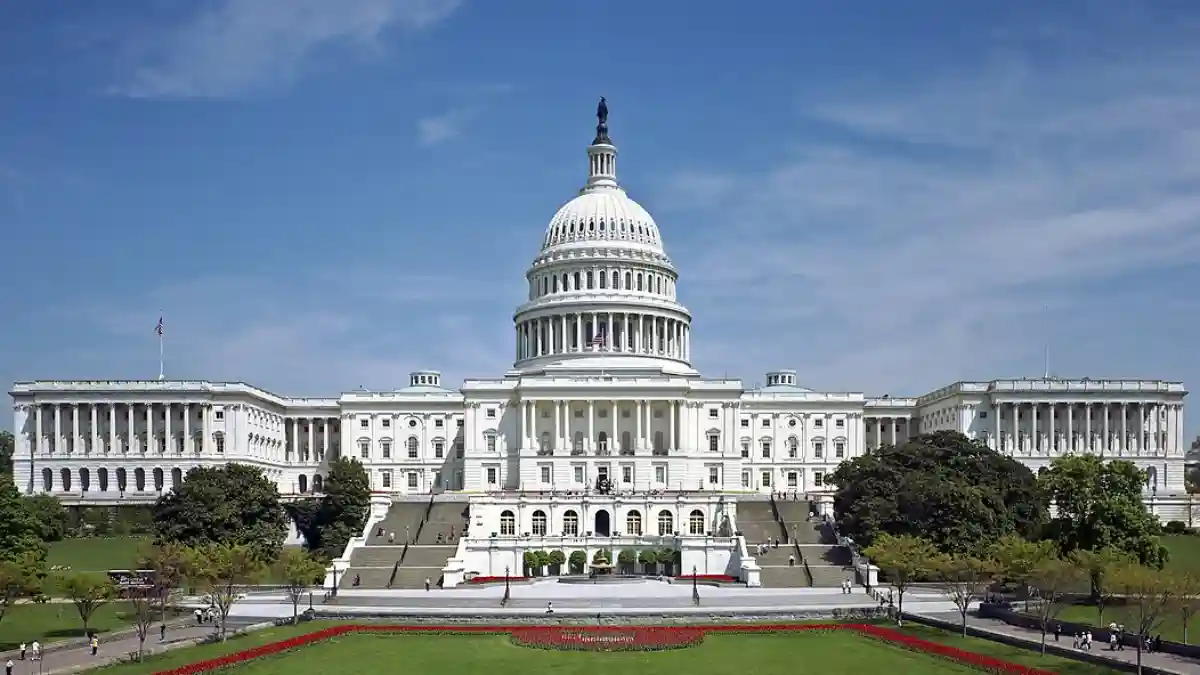
The DC region was under Severe Thunderstorm Watch 509 until 10 p.m. July 21, 2026, with damaging wind gusts, large hail, and flash flooding as confirmed threats.

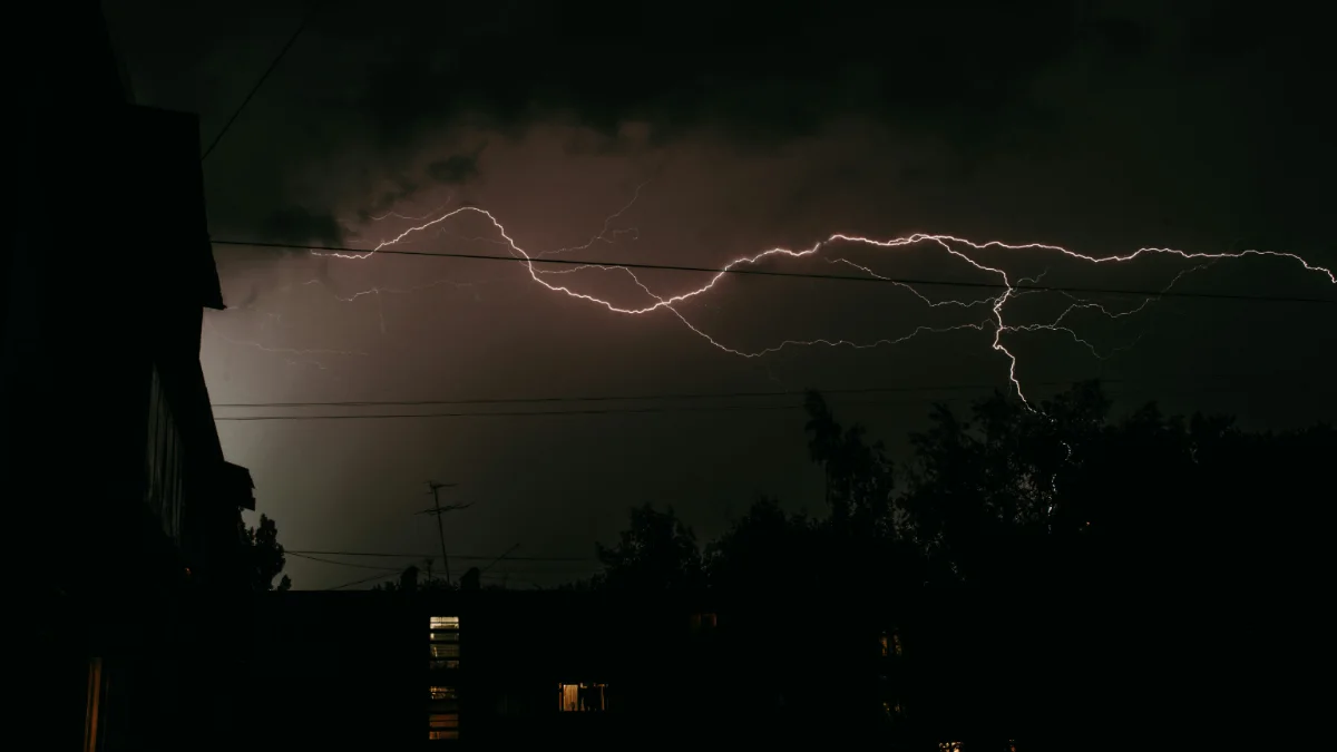
The Storm Prediction Center placed Washington, DC, and the surrounding Mid-Atlantic region under an Enhanced Risk of severe thunderstorms on Tuesday, July 21, 2026, its third-highest classification on a five-tier scale, and formally issued Severe Thunderstorm Watch 509 at 2:47 p.m. EDT, covering the Washington and Baltimore metro areas until 10 p.m. that evening.
A Cold Front Pushes Into Unstable Air
A cold front moving east out of the Midwest ran into deeply unstable air and mid-level wind shear values of 40 to 50 knots across the Ohio Valley and Mid-Atlantic corridor. The Storm Prediction Center's Day 1 Convective Outlook described those conditions as sufficient to support organized thunderstorm clusters and isolated supercell storms from the Ohio Valley through the Mid-Atlantic and into the Northeast during Tuesday's afternoon and evening.
The same atmospheric pattern had been developing ahead of the front for days. Heat and converging air masses had already triggered storm activity farther west, pushing severe thunderstorm risk across the Chicago area ahead of the front, before the system tracked into Virginia and Maryland by midday Tuesday.
Four Hazards, One Leads the List
The National Weather Service office in Sterling, Virginia, the local forecasting authority for the District of Columbia, central Maryland, and northern Virginia, published a Hazardous Weather Outlook naming four distinct hazards for Tuesday's storm window.
Damaging wind gusts were the primary and most likely threat. Per National Weather Service severe thunderstorm criteria, a severe thunderstorm produces wind gusts of 58 mph or higher. Organized storm clusters in Tuesday's atmospheric setup were positioned to meet and exceed that threshold across a wide portion of the DC metro. The region's urban tree canopy, dense across the inner suburbs in Virginia and Maryland, is particularly exposed to wind damage during summer convective events.
Large hail at one inch in diameter or larger, the NWS minimum for a severe thunderstorm hail report, was also on the official hazard list and was possible with any discrete supercell that developed. An isolated tornado could not be ruled out, though forecasters placed that probability at the lower end of the risk spectrum.
Flash flooding rounded out the confirmed threats. The Weather Prediction Center flagged excessive-rainfall potential across parts of the Mid-Atlantic and Northeast in the same convective setup, consistent with the atmospheric moisture the incoming front was driving ahead of it.
The Enhanced Risk designation separates Tuesday's setup from a routine summer storm day. At this level, the SPC expects a higher concentration and wider coverage of severe events than the adjacent Slight Risk category below it, with organized storm clusters across a broad area rather than isolated pop-up cells.
Watch 509: The Difference Between Prepare and Act
Severe Thunderstorm Watch 509 was in effect from its 2:47 p.m. EDT issuance until 10 p.m. Tuesday for the Mid-Atlantic region, including Washington and the Baltimore metro.
The terminology carries specific, actionable meaning. According to the National Weather Service, a severe thunderstorm watch means conditions are favorable for severe storms to develop, the public should prepare and stay alert. A severe thunderstorm warning means dangerous weather has been reported by storm spotters or confirmed on radar, residents must take shelter immediately and stop all outdoor activity.
A watch is the signal to prepare, a warning is the signal to act.
Evening Commute and Airport Exposure
The storm complex was expected to arrive during DC's peak evening commute. While actual flight delays were not confirmed at the time of the watch issuance, the pattern created real risk for the regional airport system. Severe thunderstorm systems have already disrupted air travel across the Northeast corridor this summer, producing significant delays and cancellations at Philadelphia International during July storm events, with FAA ground stops affecting all three New York-area airports during at least one of those disruptions.
Travelers departing from or arriving at Reagan National, Dulles International, or Baltimore/Washington International airports were advised to confirm flight status directly with their carriers before heading to any of the three airports.
Wednesday's Reduced but Present Risk
The NWS Baltimore/Washington office confirmed in its Hazardous Weather Outlook that isolated severe thunderstorms remain possible on Wednesday, July 22, primarily affecting areas east of the Blue Ridge Mountains. The Wednesday risk did not warrant the Enhanced designation that shaped Tuesday's threat, putting it at a lower, more scattered threat level.
Residents across DC, central Maryland, and northern Virginia were directed to monitor the NWS Baltimore/Washington office for real-time shifts from watch to warning status. Official alerts reach communities several minutes ahead of dangerous weather, a margin that matters when a fast-moving organized storm complex is crossing the region.
- severe thunderstorm watch DC
- DC weather
- severe thunderstorm watch vs warning
- severe weather
- Baltimore weather